Flood room status
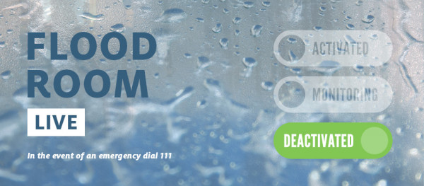
Flood Room Live is deactivated. For information on current river levels, flows and rainfall accumulations, please visit our Environmental Data Hub.
Cancellations
Strong Wind Watch - Yellow for Auckland, Great Barrier Island and Coromandel Peninsula as at 4.13 pm Tuesday 21 Jan 2025
Heavy Rain Warning - Orange for Coromandel Peninsula as at 8.31 pm Tuesday 12 Jan 2025
Severe weather - Coromandel Peninsula
Severe weather - Coromandel Peninsula
Updated at 8.30am on Wednesday, 22 January 2025
Situation
The MetService Heavy Rain Warning (Orange) and Strong Wind Watch for the Coromandel Peninsula still stand, with heavy rain likely to fall throughout Tuesday and into the early hours of Wednesday morning, with a chance of thunderstorms and localised downpours. Strong winds may also affect the Coromandel Peninsula and parts of the Matamata-Piako district. Please keep up to date with the current weather forecasts from the MetService and messages from local civil defence.
For the latest river level and rainfall data, please visit our Environmental Data Hub.
MetService forecast
Severe Weather Warnings and Watches
Issued: 8.38am, Tuesday 21 January 2025
A low near Northland is moving southwards. This low and its associated fronts are bringing heavy rain and easterly gales to parts of the northern North Island. Please stay up to date with the latest forecasts in case changes are made.
Heavy Rain Warning (Orange) - Coromandel Peninsula
Period: 17 hours from 8:00am to 1:00am Wednesday
Forecast: Expect 80 to 110 mm of rain. Peak intensities of 15 to 25 mm/h late Tuesday morning and early afternoon with possible thunderstorms. Minimal chance of upgrading to a Red Warning.
Impact: Streams and rivers may rise rapidly. Surface flooding, slips, and difficult driving conditions possible.
Action: Clear your drains and gutters to prepare for heavy rain. Avoid low-lying areas and drive cautiously.
Changes: Extension to impact times
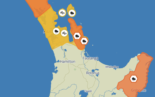
Strong Wind Watch - Auckland, Great Barrier Island and Coromandel Peninsula
Period: 7 hours from 8am - 3pm Tuesday, 21 January
Forecast: Easterly winds may approach severe gale in exposed places. Low chance of upgrading to a Warning.
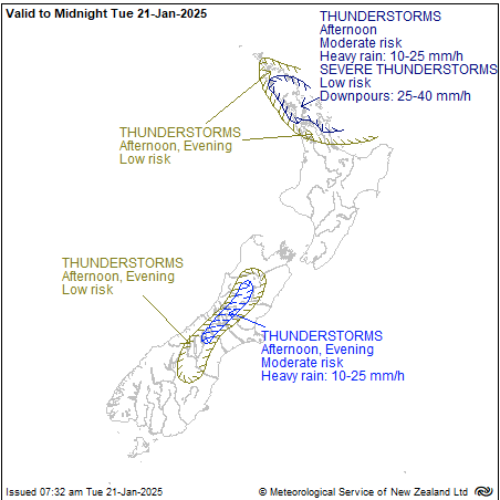
Thunderstorms
The risk of thunderstorms generally decreases during the day, but there is still a moderate risk of thunderstorms about parts of Northland, northern Auckland, the Hauraki Gulf (including Great Barrier Island) and Coromandel Peninsula this morning and afternoon.
A broader low risk covers other parts of the northern North Island as indicated on the chart. Any thunderstorms that occur will produce localised heavy rain of 10-25 mm/h, along with a low risk of one or two severe thunderstorms producing localised downpours of 25-40 mm/h.
A low risk of thunderstorms covers other parts of Auckland and Coromandel Peninsula from mid-morning.
Likely/potential Impacts
Rivers and lakes
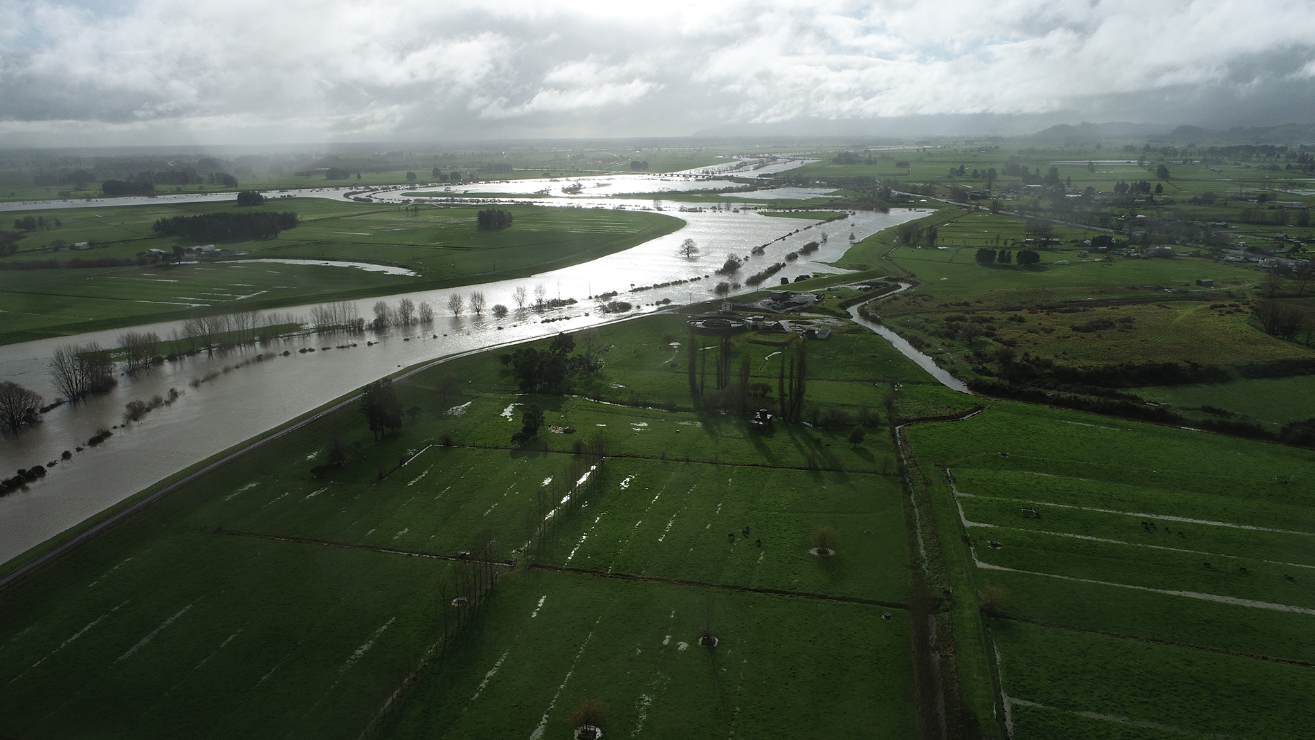
Despite the recent dry weather allowing catchments to have plenty of storage, these downpours may cause rivers to rise rapidly causing localised flooding.
Land instability
Heavy rain has potential to impact localised areas. Areas that would normally experience land instability may be affected. Please keep up to date with the latest on state highway conditions from the NZ Transport Agency Waka Kotahi and city and district councils for local roading impacts.
WRC Zone Summary
Local flood response staff are on standby to respond to any impacts this weather may bring. All flood infrastructure is working as it should.
WRC telemetry
All telemetry equipment is working as it should. For the latest telemetry information, please lease visit our Environmental Data Hub.
Next update
Flood Room Live will be updated by 12 noon on Wednesday, 22 January or earlier if circumstances change.
- Waikato Regional Council Facebook page (@WaikatoRegion)
- Waikato Regional Council Twitter (@ourwaikato)
- Waikato Region Civil Defence Facebook page (@WaikatoCivilDefence)
- Waikato Region Civil Defence Twitter (@CivilDefenceWKT)
- New Zealand Civil Defence Facebook page (@NZCivilDefence)
- National Emergency Management Agency Twitter (@NZcivildefence)


To ask for help or report a problem, contact us
Tell us how we can improve the information on this page. (optional)